Five of the best walks on the Llŷn — from an easy pilgrim stroll to an Iron Age summit scramble. Every walk here comes with exact start coordinates, What3Words, honest difficulty, and the thing no other walking site gives you: live conditions — today’s tide, weather and bathing water, plus which cafés and pubs near the route are open right now.
Planning tip: for GPX downloads and turn-by-turn navigation, the AllTrails app and OS Explorer maps 253 & 254 are excellent — use them alongside this guide. What we do that they can’t: tell you what the Llŷn is doing today.
The five walks
- Pwllheli to Abersoch via Llanbedrog — 8.5 miles · 3.5–4 hrs · Moderate. The classic south-coast day: beach huts, the Iron Man, and a café finish.
- Tre’r Ceiri Iron Age Hill Fort — 2.3 miles · 1.5–2 hrs · Challenging. One of Britain’s best-preserved hill forts, 450m up on Yr Eifl.
- Whistling Sands (Porthor) Circular — 4.5 miles · 2–2.5 hrs · Moderate. The beach that squeaks underfoot, plus two wild headlands.
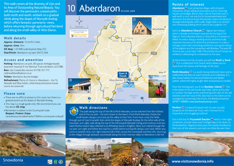
- Aberdaron to Porth Meudwy — 2.75 miles · 1.5–2 hrs · Easy–Moderate. The last leg of the ancient Bardsey pilgrimage.
- Mynydd Mawr & Braich y Pwll — 1.5–4 miles · 1–3 hrs · Moderate. The westernmost point of North Wales, face to face with Bardsey.
Before every walk
Check today’s weather and tides — coastal conditions change fast here. Livestock graze most of these routes, so dogs on leads. Mobile signal is patchy: llyn.live keeps working offline once you’ve loaded it, but tell someone your route anyway. In an emergency call 999 and ask for the Coastguard.
Walking the whole peninsula? The Llŷn Coastal Path runs ~95 miles from Caernarfon to Porthmadog — official route info at walescoastpath.gov.uk. Our stage-by-stage guide is coming soon.
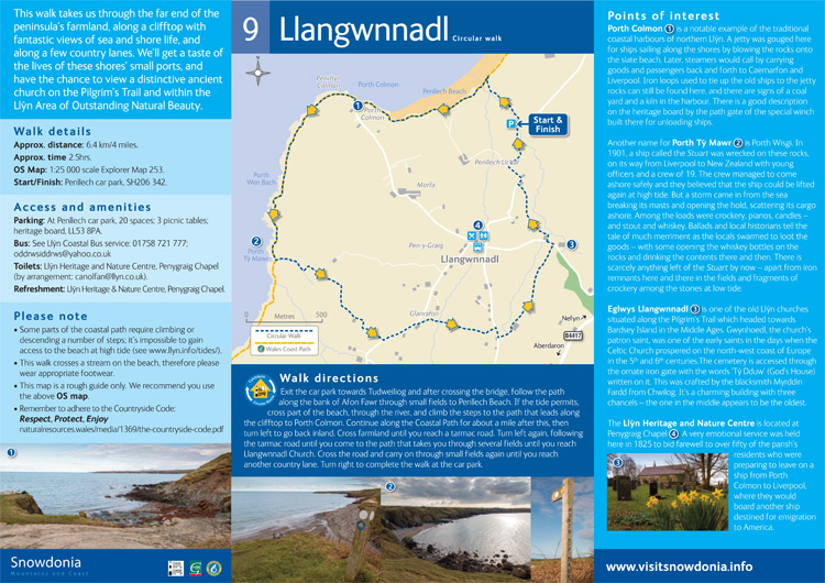
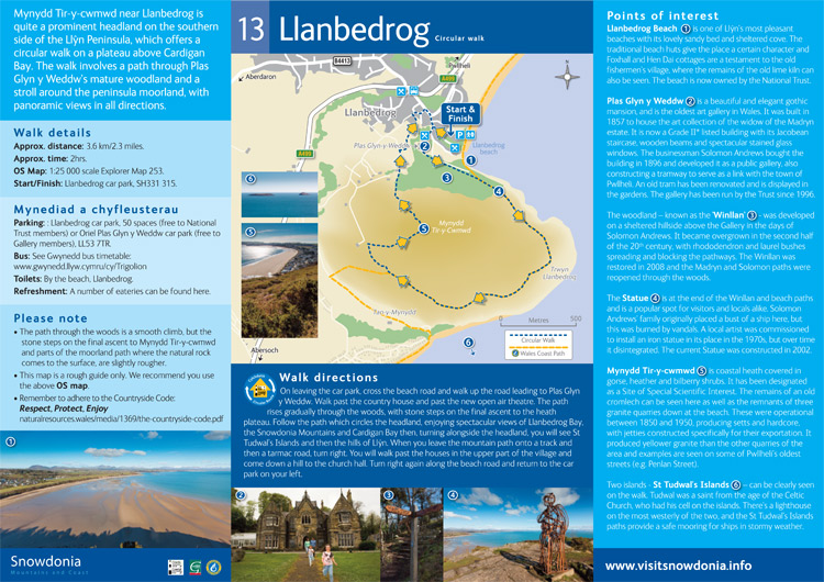
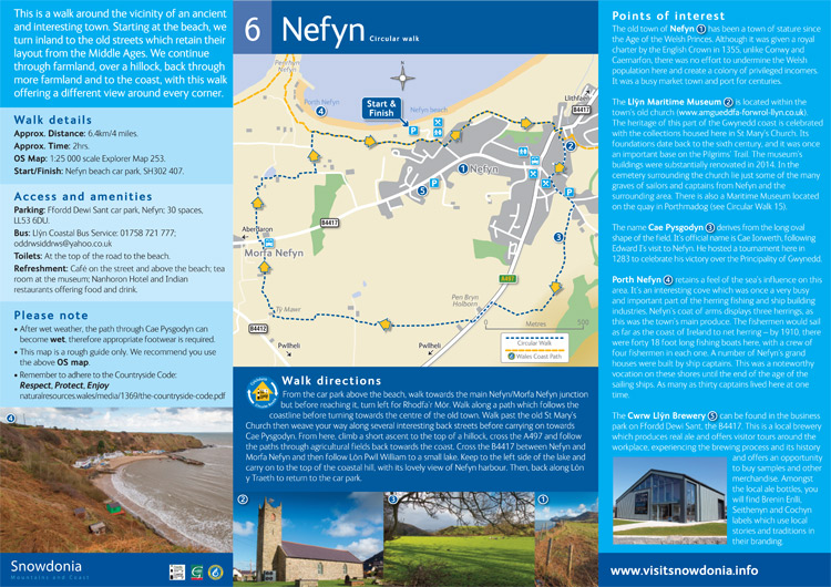
Circular walks in Llŷn
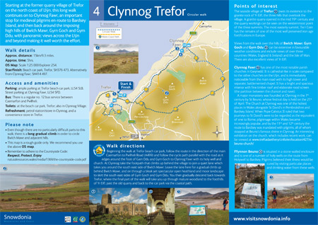
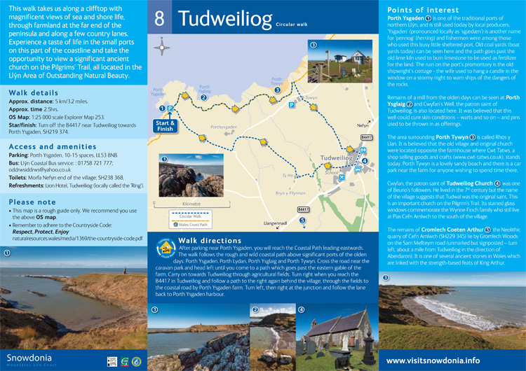
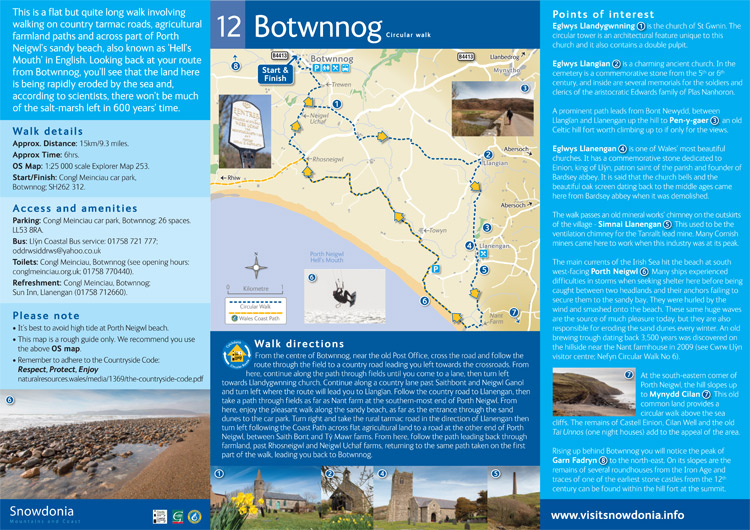
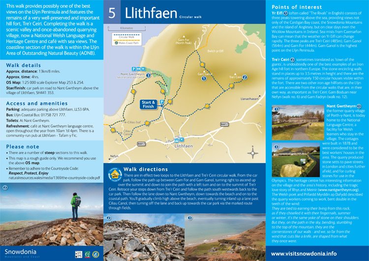
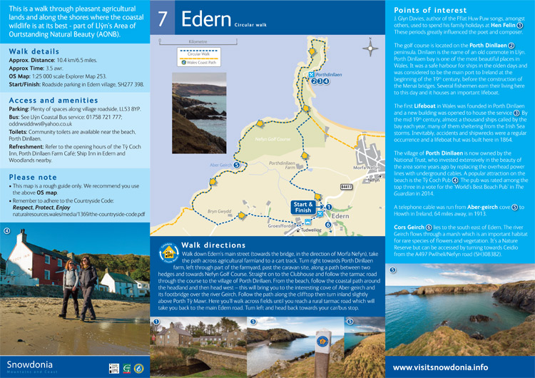
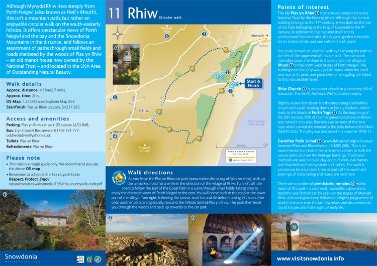
Please click on the images to view larger versions of the maps